9.1.3 Use of Earth Model Interpretations
| Topic Version | 1 | Published | 09/11/2015 | |
| For Standard | RESQML v2.0.1 | |||
An earth model has these main uses:
- To take a “snap shot” at a given time stamp to capture a consistent set of information at a specific step of the geomodeling/simulation business process. The objective is to mark this step or to transfer a complete and consistent set of information from one software package to another after a specific step.
- To be able to consistently update—stage by stage—this consistent model (from the snap shot forward) with new data and information about the prospect.
- To archive one given step or the global history of the prospect creation and its evaluation.
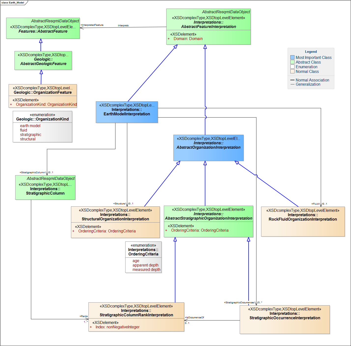
From an IT perspective, an earth model interpretation can be considered an instance of one earth model feature (Figure 9.1.3-1).