13.5 Seismic Survey as Extra Information on the Geometry of a Representation
| Topic Version | 1 | Published | 09/11/2015 | |
| For Standard | RESQML v2.0.1 | |||
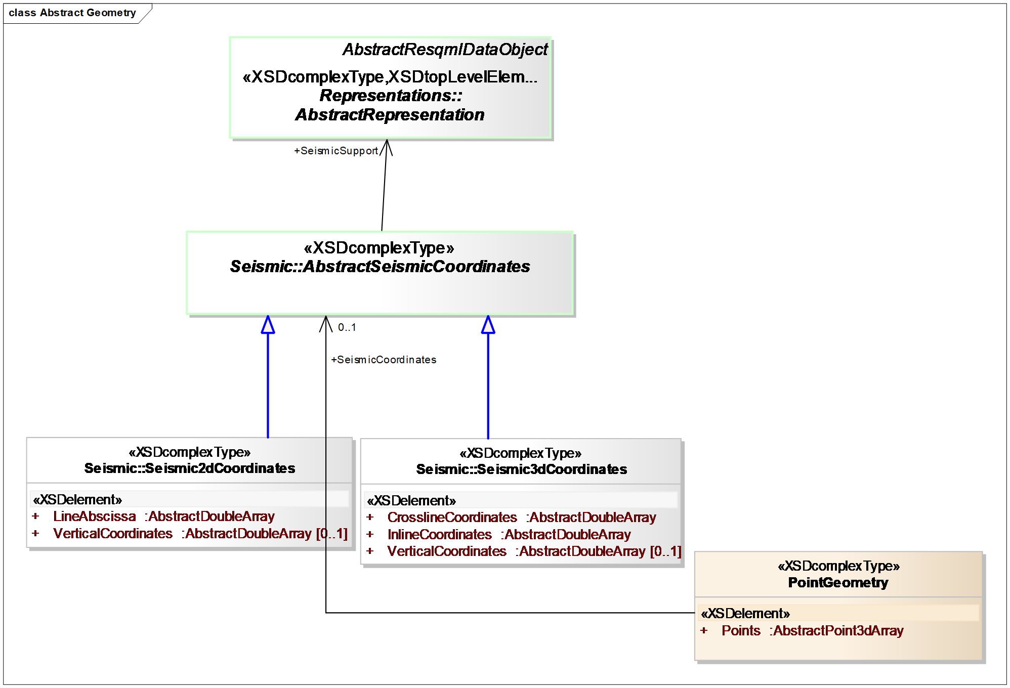
Any representation based on point geometry may have seismic coordinates associated with the points. (Figure 13.5-1). (For more information on point geometry, see 8.3 Geometrical Information Stored as a Property .)
Seismic coordinates are based on a supporting representation, which must be a representation of a seismic survey.
- If the seismic survey is a seismic line, then you must give seismic coordinates using the seismic 2D coordinates.
- If the seismic survey is a seismic lattice, then you must give seismic coordinates using the seismic 3D coordinates.
The seismic coordinates must be ordered exactly as the points are ordered in the representation of the business object. The 3D seismic coordinates consist of three arrays of (inline coordinate, crossline coordinate, vertical coordinate) values. The 2D seismic coordinates consist of two arrays of (line abscissa, vertical coordinates) values. These coordinates are not constrained to be integers and so can represent positions between the nodes of a seismic survey.