13.4 Seismic Survey as a Part of the Geometry of the Business Object
| Topic Version | 1 | Published | 09/11/2015 | |
| For Standard | RESQML v2.0.1 | |||
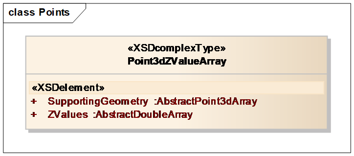
Any business object, such as a horizon, can define its geometry by means of Z values. The Z values are then combined with the geometry of a seismic survey to give XYZ points.
This is done using the class point 3D Z value array (Point3dZValueArray) (Figure 13.4-1), which can define Z values on a subset or on the whole of an existing representation indicated in the attribute supporting geometry.
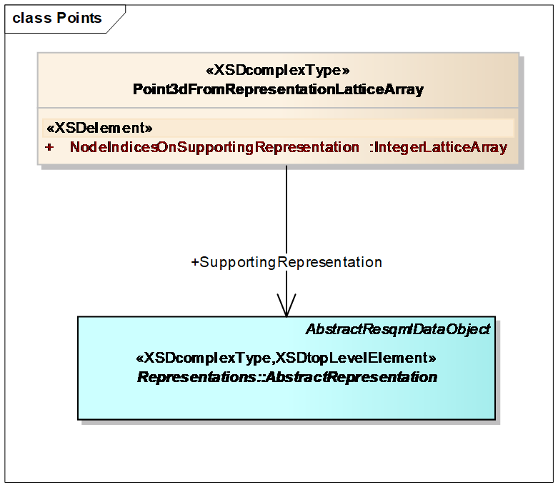
The subset or the whole of an existing geometry (attribute supporting geometry above) is generally handled by the class Point3dFromRepresentationLatticeArray, where we use an integer lattice array to select the nodes where the Z values are applied (Figure 13.4-2).
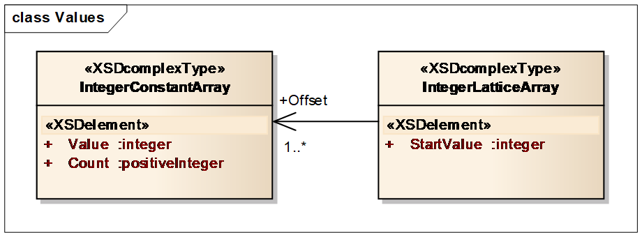
The subset of nodes is given by means of (Figure 13.4-3):
- A start value (origin): linearized index of the origin node of the subset.
- For each lattice dimension defined by its order in the XML instance, the list of the offset between selected nodes.